SeaScope (Earth Observation)
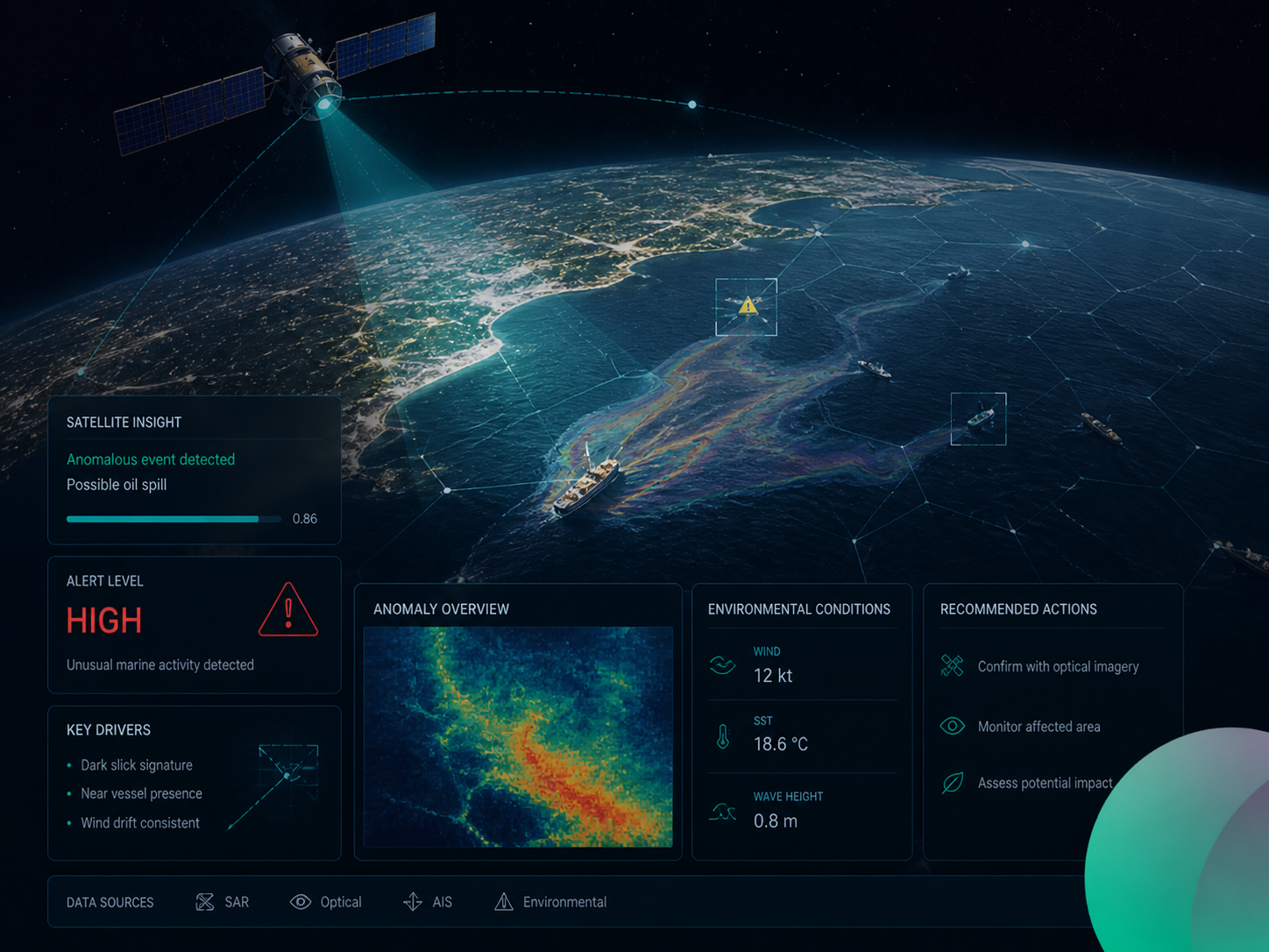
SeaScope is Gendox’s Earth Observation workspace: a fast loop where you ask a question, an AI agent produces a Google Earth Engine (GEE) script, the script runs in a secure browser sandbox, and the results appear immediately on the map.
It’s designed for iterative geospatial analysis: you can refine the question, narrow an Area of Interest (AOI), compare results, and repeat until you get a trustworthy signal.
What you can do with SeaScope
- Ask natural-language questions about satellite-derived signals and changes.
- Let the agent write analysis code (GEE JavaScript) based on your intent and context.
- Run code and visualize results as layers on an interactive map.
- Draw AOIs (polygons/points/rectangles) and use them as inputs to the analysis.
- Share evidence by taking map screenshots and continuing the conversation with visuals.
Example use cases
- Change detection: shoreline, vegetation, land cover, burned area.
- Environmental monitoring: water quality proxies, flooding extent, drought indicators.
- Incident response: quickly narrow down a region and iterate on detection heuristics.
Prerequisites
- A Google Earth Engine account you can authenticate with (OAuth).
- A Gendox project and task created for Earth Observation (SeaScope).
- A configured agent for your project (model + tools) to support code editing.
Next
Continue with the User Guide to learn how to sign in, use the 3-panel workspace, run scripts, draw AOIs, and iterate with the agent.